

PSU GEOPATH Program
Promoting and Sustaining geoscience and related disciplines with PSU EnvironMentors for underserved and underrepresented minority NY, NJ, and PA Communities (GEOENV)
Diversity in STEM continues to be a critical issue in postsecondary and workforce realms. In the GEOPATH disciplines of Earth, Oceanic, and Atmospheric Sciences, the problem is amplified with very limited success in attracting, retaining, and graduating underrepresented minority (URM) students at the undergraduate and graduate levels. Several factors inhibit URM STEM engagement including exposure, mentoring, experiential learning, and math and science preparation. To counteract the impact of these limiting factors, a focused GEOPATH component, designated GEOENV, will be added to the Penn State EnvironMentors program, which provides high school students a research experience throughout the academic year through group mentorship from faculty, postdocs, graduate, and undergraduate students. GEOENV will provide additional opportunities for URM STEM engagement for high school students, with the aim of steering URM students toward college/university Geoscience majors/disciplines and careers/jobs.
Prior to declaring a major in high school and accepting enrollment at a university/college, GEOENV will recruit 16 freshman, sophomore, and junior year high school students per year from 4 locations located in New Jersey, New York, and Pennsylvania, representing varied demographic and socioeconomic status. The temporal evolution of this engagement will be qualitatively and quantitatively assessed from pre-and post-surveys and tracking the degree to which student participants major in a geoscience discipline during their college matriculation. High school student participants are assigned to a research team and develop a research project as part of the EnvironMentors program and focus on a GEOPATH discipline in the College of Earth and Mineral Sciences at Penn State University. From yearlong work on a research project, high school student participants present a research poster and papers as final products. GEOENV will also include seminars with cross-cutting themes during the academic year to increase the exposure of participants to GEOPATH disciplines. High school teachers will also participate to deepen their knowledge of education of STEM education and research activities in GEOPATH disciplines through a 3-day workshop held at Penn State University each year. Participating teachers are also encouraged to become part of a research team during the academic school year.
This initiative provides $1,500 each for 16 undergraduate research participants and $500 for research activities for 16 high school student research participants throughout the 3-year funding cycle of the program.
Visit PSU GeoPath for more information


PSU Build & Broaden
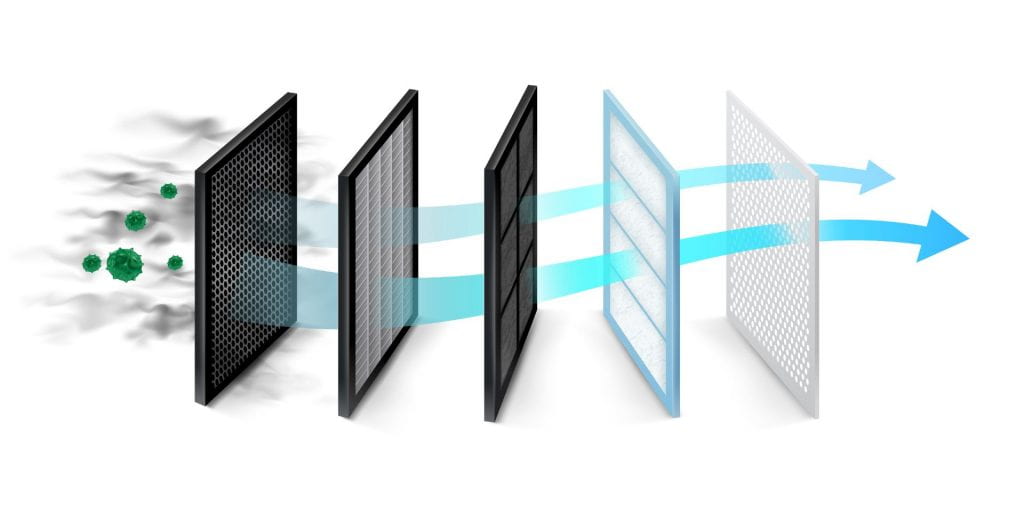
STEM Participation through Community Air Quality Sensor Networks and Data Science during the Pandemic
The socioeconomic inequities due to climate change and environmental injustices are amplified in marginalized communities, especially through poor air quality. The air we breathe – a universal variable that connects us all – is a prime determinant of human health and mortality, and Long-term exposure to poor air quality, especially particulate matter (PM), is linked to many comorbidities that have been associated with poor health prognoses (e.g., cancer, cardiovascular, lung disease), which contribute to ~ 7 million deaths per year. This project will implement face-to-face/virtual community interventions to engage participants on utilizing high- and low-cost air quality sensor technologies and utilize data analytics to better understand how poor air quality contributes to adverse health impacts, especially COVID-19.
The project team will work with urban academic institutions/residences in NYC and NJ to train them how to build and operate high- and low-cost air quality sensors for the collection of indoor air quality measurements of PM10, PM2.5, and PM1. The project team will work with community participants to train them how to construct data visualization products quantify the degree of contribution of air quality levels to adverse health impacts at the individual and county level well-established statistical approaches. This initiative will also engage community participants, such that they are able to quantify the degree to which the collected data correlates with each other by way of (again) well-established statistical approaches. The project team will train participants to utilize open-source tools to examine the physics of where air parcels come from to (and forecast where they are going). Lastly, the initiative will implement soft- and hard-skills training and STEM professional development (PD) workshops – all aimed at optimizing recruitment, retention, and successful matriculation in STEM disciplines and careers.
This initiative provides $1,500 each for 5 participating teachers for the summer workshop component of the program and $500 for research activities for each of the 10 high school student participants throughout the 2-year funding cycle of the program.
PSU Earth Science Applications
PSU Improving Air Quality State Implementation Plans Using Land Surface Remote Sensing Program.
This project will enhance the performance of the air quality simulations used in California and Pennsylvania’s air quality State Implementation Plans by 1) integrating state-of-the-science land surface remote sensing, specifically NASA’s Land Information System (LIS), into their numerical weather models. These modeling systems are used to design the State Implementation Plans (SIPs) used to attain the National Ambient Air Quality Standards (NAAQS). We will apply the NASA LIS in the NASA Unified Weather Research and Forecast model (NU-WRF) to these state’s air quality simulation needs. We will then 2) assess the performance of this modeling system by comparing with state-of-the-science observations, including observations of land surface fluxes, atmospheric boundary layer properties, and pollution concentrations. We will explore options within our numerical modeling system that 3) optimize system performance across the expanded spectrum of evaluation metrics, with the aim of improving air quality simulations as a robust tool for guiding decisions concerning emission mitigation. Finally, we will 4) implement the improved simulation systems in the state air quality modeling systems.
The project addresses documented challenges in simulating air quality conditions in both states. California’s San Joaquin Valley (SJV) is a nonattainment area in particulate matter of 2.5 microns and smaller diameter (PM2.5) and ozone (O3). The land surface is highly heterogeneous and includes intensive agriculture and irrigation. The simulation of air quality in the SJV has been demonstrated to be highly sensitive to the method of simulation of land surface fluxes. The heterogeneous, dynamic surface makes surface fluxes very difficult to simulate without direct observations of time-varying land surface properties such as are available through NASA’s LIS. Pennsylvania’s Allegheny County, which includes Pittsburgh, is currently a PM2.5 nonattainment area. Lancaster County may become a PM2.5 nonattainment area, and Philadelphia is likely to be declared a moderate nonattainment area in O3. These landscapes are also complex, including forests, agriculture and urban development. Neither state’s air quality simulation system currently uses the advanced land surface remote sensing available via NASA’s LIS.
The project anticipate that this work will improve the simulated land surface fluxes and ABL properties in the nonattainment areas in both states, which will in turn improve the air quality modeling used to develop their SIPs. The improved atmospheric modeling will result in more robust estimates of future emission targets needed to attain the NAAQS. A more robust atmospheric modeling system will also provide better understanding of how non-linear interactions in pollution transport and chemistry will affect the combined effects of policy actions, and which portfolio of policies will be most cost-effective in achieving the air quality standards. As air quality improves with more stringent policies over time, our proposed model advancements will meet the need of future SIPs to assess the effectiveness of further air quality improvements at increasingly lower ambient pollutant levels.
The research team will work closely with both the California Air Resources Board (CARB) and the Pennsylvania Department of Environment Protection (PA DEP) in all steps of the process. CARB and PA DEP observational and modeling teams will work closely with Penn State personnel to implement the NASA LIS / NU-WRF meteorological modeling system, merged with the Community Multiscale Air Quality model (CMAQ), in the state air quality modeling frameworks. The states will gain well-tested, state-of-the science remote sensing inputs resulting in more physically robust air quality models, and updated, comprehensive observational assessment systems, both of which will support more robust air quality management that can serve as a model well beyond these two states.
This initiative provides $500 each for 4 high school students for research activities for the 5-year duration of the project.
